Lab Notes
The CartoLab Blog

UAV Uses and Applications in Property Insurance and Real Estate

Introducing Elements: a library for rapidly building Mapbox-based web applications

Remote GIS Work with PostGIS in the Cloud

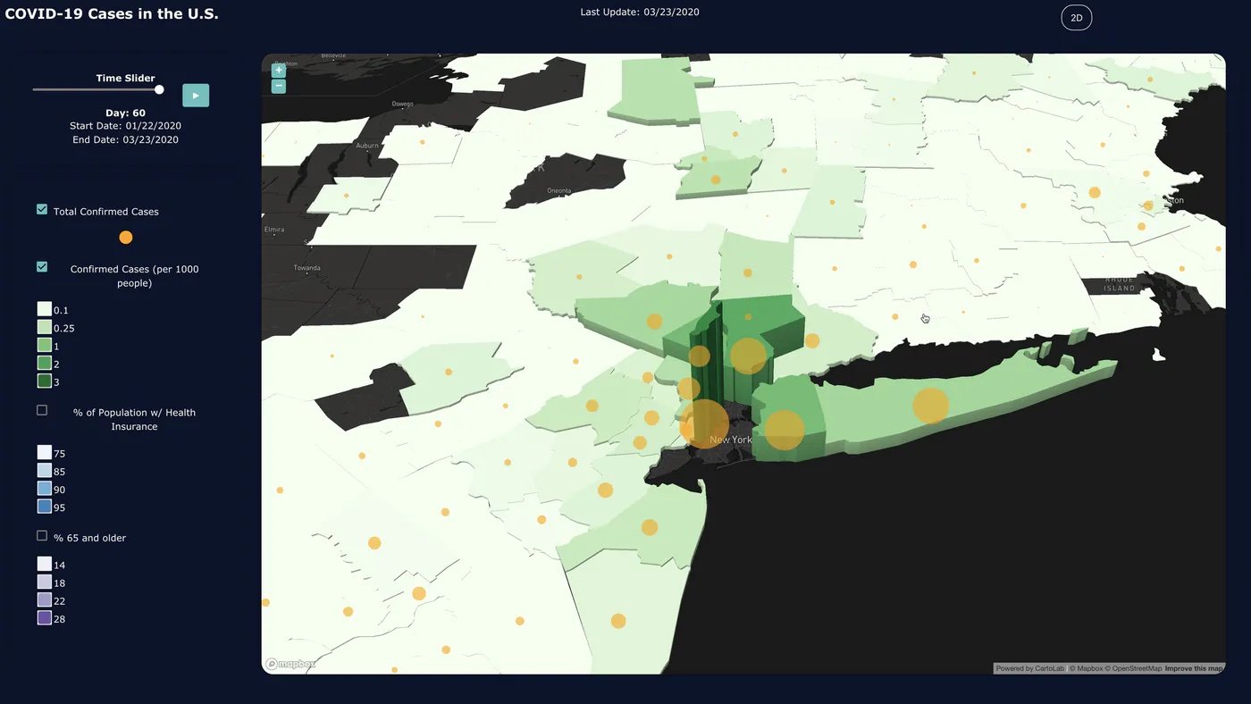
How to Build a Coronavirus Dashboard - Part 1: Back End

Animating a Time Series Map with Python and GeoPandas

Site Location and the Importance of Nearby Points of Interest

Geospatial Javascript is More Powerful Than You Think
3 Reasons to Move Your Geospatial Data to the Cloud
Building a High Performance Geoprocessing API Solution Using ArcGIS Enterprise, Node, and Turf. js
4 GIS Applications in Civil Engineering
